Let’s DRONE On! 🛸🌱
We're DRONE-ing On
That's right. We're about to make vegetation management and erosion & sediment control even easier. With our certified RPAS Pilot on staff, we now provide
multispectral & RGB imaging.
What is Multispectral Imaging you ask?
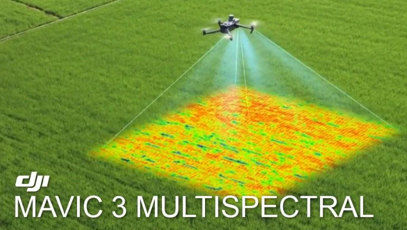
Multispectral Imaging captures light across and range of wavelengths with the electromagnetic spectrum, including infrared and ultra-violet. This is commonly used in agriculture & forestry to identify plant species and plant health. It is also used to track soil conditions & biodiversity.
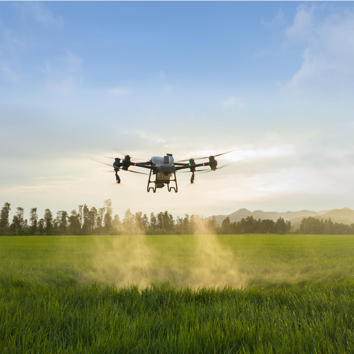
Why Use a Drone?
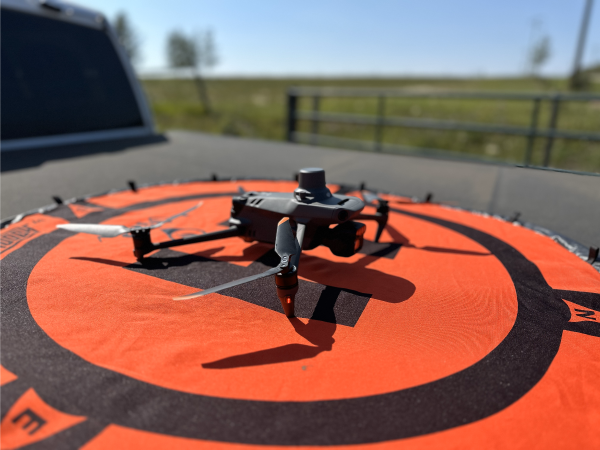
Our DJI Mavic 3M Drone will provide:
- Flexibility to reach difficult & remote places, like steep terrain or sensitive areas
- Cost effective options to collect vegetation management data for reclamation and erosion control projects
- Safety, as all personnel avoid entering hazardous areas
- Speed & Efficiency to collect valuable & informative data

As another spraying season comes to a close...
Pineview wants to send you a BIG thanks as we near the end of another successful season of herbicide application in the Peace.
We strive to be the Peace Region's top provider & experts on all things vegetation management, and we couldn't do any of it without you!
You might also like
Pineview Vegetation Management Blog